Clear, 43° F
Part of County Road 1AB in Clark was flooded by overflowing Line Creek and a section of County Road 2AB was temporarily flooded near a subdivision.
But the hard rain Monday afternoon had the …
This item is available in full to subscribers.
The Powell Tribune has expanded its online content. To continue reading, you will need to either log in to your subscriber account, or purchase a subscription.
If you are a current print subscriber, you can set up a free web account by clicking here.
If you already have a web account, but need to reset it, you can do so by clicking here.
If you would like to purchase a subscription click here.
Please log in to continue |
|
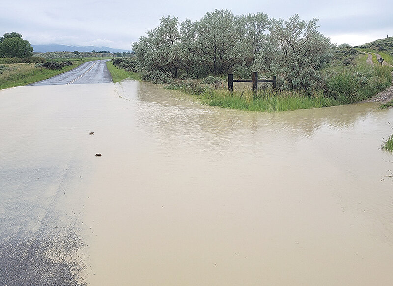
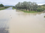
Part of County Road 1AB in Clark was flooded by overflowing Line Creek and a section of County Road 2AB was temporarily flooded near a subdivision.
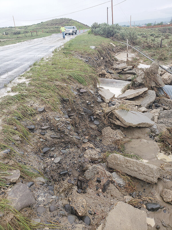
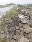
But the hard rain Monday afternoon had the most effect near Willwood Dam, where flash flooding led to water rushing over the road and caused damage that will need to be fixed, Park County Engineer Brian Edwards said Tuesday morning.
However, as of Tuesday morning all of the roads affected that staff had known about were open.
“We’ll probably make some temporary [fixes on stuff in Willwood,” said Ben McDonald, project manager for public works, during an update to county commissioners Tuesday morning. He said it affected roadway only just recently redone on Lane 13.
“Deer Creek had overtaken the canal and it took a pretty good chunk out of that road,” McDonald said.
Edwards said they would look at Willwood as to whether the culvert under the road would need to be upgraded. He said it's the first time since he's been here that it hasn’t managed to keep all of the water flowing from a nearby draw in the McCullough Peaks under the road.
“Since I’ve been here the culvert has not overflowed like this,” he said, noting some people have questioned the size of the culvert being big enough. “You can’t practically design for act of God type things.”
But, the Public Works department is going around now to look at fixes in the affected areas, including on the switchbacks up Jim Mountain Road on the North Fork, where only a few items stand in the way of improvements being done.
Of course, right now even normal road maintenance has been hampered because of the seemingly constant afternoon thunderstorms, McDonald noted as to why a project in Powell is taking its time.
Reservoir more than full
The rainy spring has also led to a quite full Buffalo Bill Reservoir.
The reservoir is at 114% of average water level as of Monday afternoon with the inflow from the forks of the Shoshone River and smaller streams at 111% of average from April 1 to June 11 (5,791 cubic feet per second on June 11), according to Mahonri Williams, chief of the Resources Management Division for Wyoming Bureau of Reclamation.
The snow is mostly melted from the snow telemetry sites maintained by the Natural Resources Conservation Service (NRCS) in the mountains upstream of Buffalo Bill Dam,” Williams said. “The snow melted out about two weeks ahead of normal.”
All of the snowmelt and rain is leading to a swollen lower Shoshone as is the case every spring, as the cfs clocked at 3,000 at the Cody river gage is close to average. Gage stations record the level of water in the river


