Clear, 57° F
Three to 4 inches was Mike Forman’s guess up there, but he said it was hard to confirm because the wind blew the snow around.
Through March of 2012, Powell’s total was 0.42 inches, according to www.powellweather.net, operated by Terry …
This item is available in full to subscribers.
The Powell Tribune has expanded its online content. To continue reading, you will need to either log in to your subscriber account, or purchase a subscription.
If you are a current print subscriber, you can set up a free web account by clicking here.
If you already have a web account, but need to reset it, you can do so by clicking here.
If you would like to purchase a subscription click here.
Please log in to continue |
|
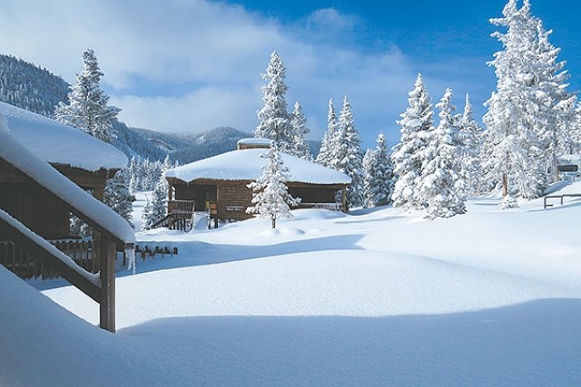
Field Stations recieves 84 inches of fresh powder in 14 days
A late Sunday snowstorm delivered 0.11 inches of precipitation to Powell. More snow continued to fall Monday.
Mother Nature may have dumped a bit more on the Heart Mountain area.
Three to 4 inches was Mike Forman’s guess up there, but he said it was hard to confirm because the wind blew the snow around.
Through March of 2012, Powell’s total was 0.42 inches, according to www.powellweather.net, operated by Terry Foley.
By this time last year, Powell had 0.70 inches. Last year ended with 2.54 inches.
The median for the last 116 years is 6.6 inches. The least precipitation was 2.36 inches in 1919 and the most was 10.11 in 1932, according to www.powellweather.net.
No need for sunscreen yet, but a warming trend is en route.
“It’s going to dry out and warm up for the rest of the week,” said Rich Miller, National Weather Service specialist.
The high today (Tuesday) should near 45 degrees beneath mostly sunny skies with a low around 26 degrees. There is a 20 percent chance of snow showers after midnight, said the service.
By the end of the week it will be in the 60s, Miller said.
The service predicted a high of 67 degrees and a low of around 40 Friday.
If warm temperatures occur too quickly, the snowpack will melt, bringing potential floods. If the temperature is more moderate, snowpack will ease off the mountains, Miller said.
The latest storm to hit the state comes in the wake of big snowstorms in each of the past two weeks, causing icy roads around the region.
In northeast Wyoming, the snow made for hazardous travel in the Sheridan area, including Interstate 90, on Monday morning. Sheridan received about 8 inches of snow, Gillette 7 inches, Story 13 and Big Horn 18. Mountain areas saw higher amounts.
(The Associated Press contributed to this story.)
Shoshone River basin at 98 percent
The Monday morning statewide median snow water equivalent rose to 100 percent of average on Monday, benefitting from two large snowstorms that dumped moisture on much of the state over the last two weeks.
The increase was good news for Lee Hackleman, water supply specialist with the Natural Resources Conservation Service.
“We were at 66 percent last year,” he said in a news release. “I hoped for 90 percent all winter, and we got up to 100 percent!”
In a slight reversal, the snow water equivalent in the Shoshone River basin was a little lower than the statewide average Monday, but still climbed to 98 percent.
One week ago, the Shoshone basin’s SWE was 93 percent. Last year at this time, it was at 102 percent, according to data based on a 30 year average from the Natural Resources Conservation Service.
Big Horn River Basin SWE climbed to 109 percent Monday, compared to 97 percent one week ago. On April 22, 2012, the basin had 96 percent SWE.


